

DAY 1 – From Charmey to Jaun: A Gentle Introduction in the Heart of the Jogne Valley
This first stage takes you from Charmey to Jaun, following the peaceful Jogne Valley and its river. Easy and without technical difficulty, this hike is ideal for starting your trekking adventure gently while fully enjoying the typical landscapes of the La Gruyère region.
Day’s itinerary
Charmey (887 m) → Jaun (1014 m)
An easy hike between river and preserved nature
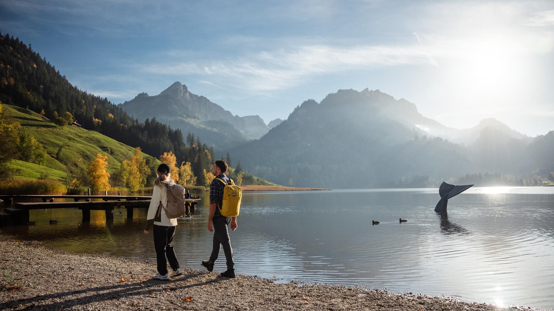
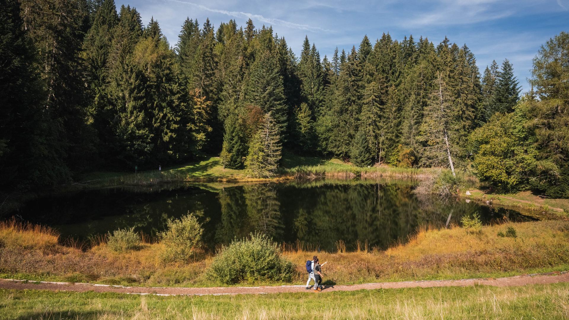
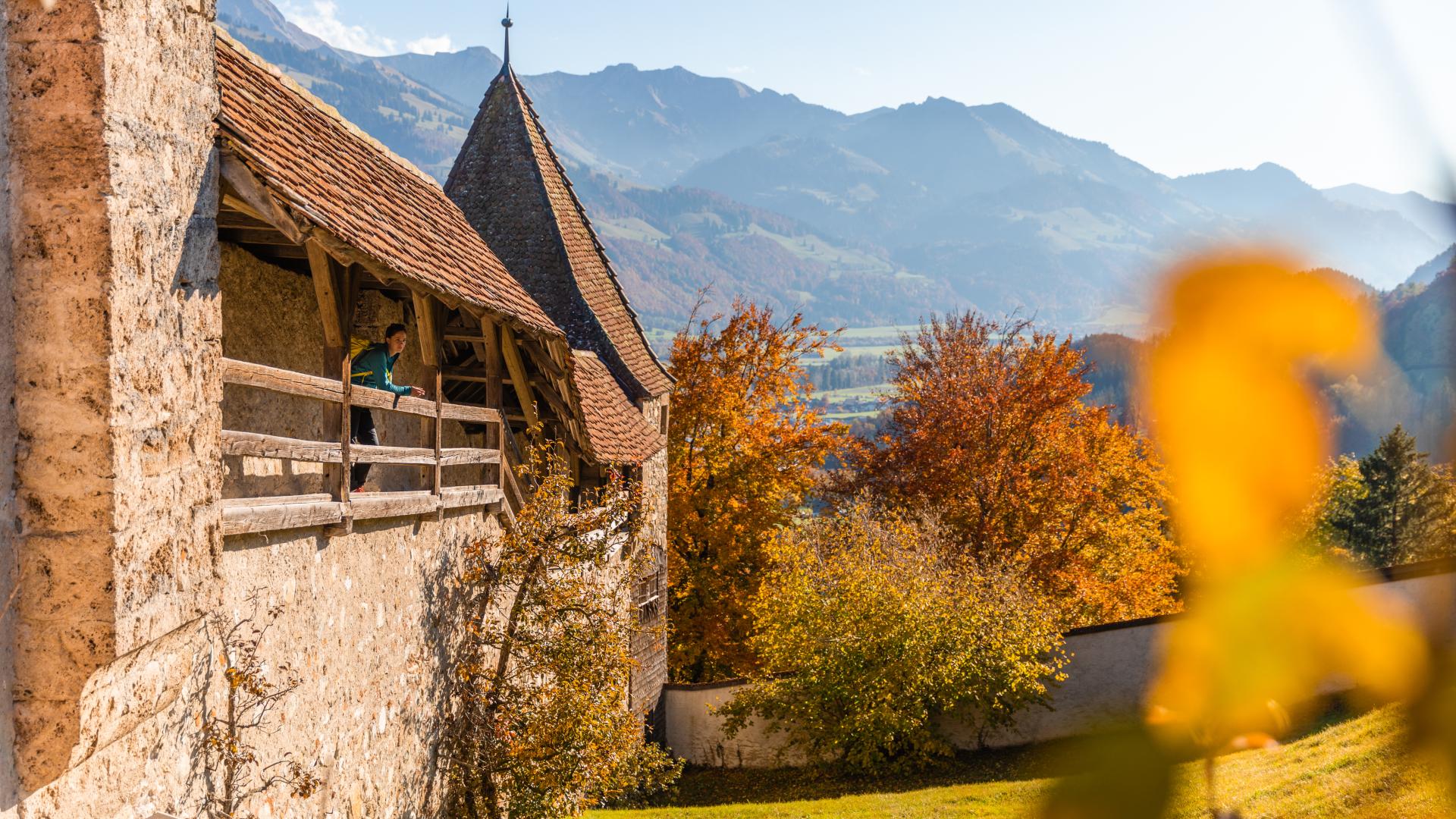
The route follows the Jogne River, offering a calm and rejuvenating atmosphere between green meadows, forests, and gentle hills. This stage is perfect for gradually acclimatizing before the more alpine sections of the following days.
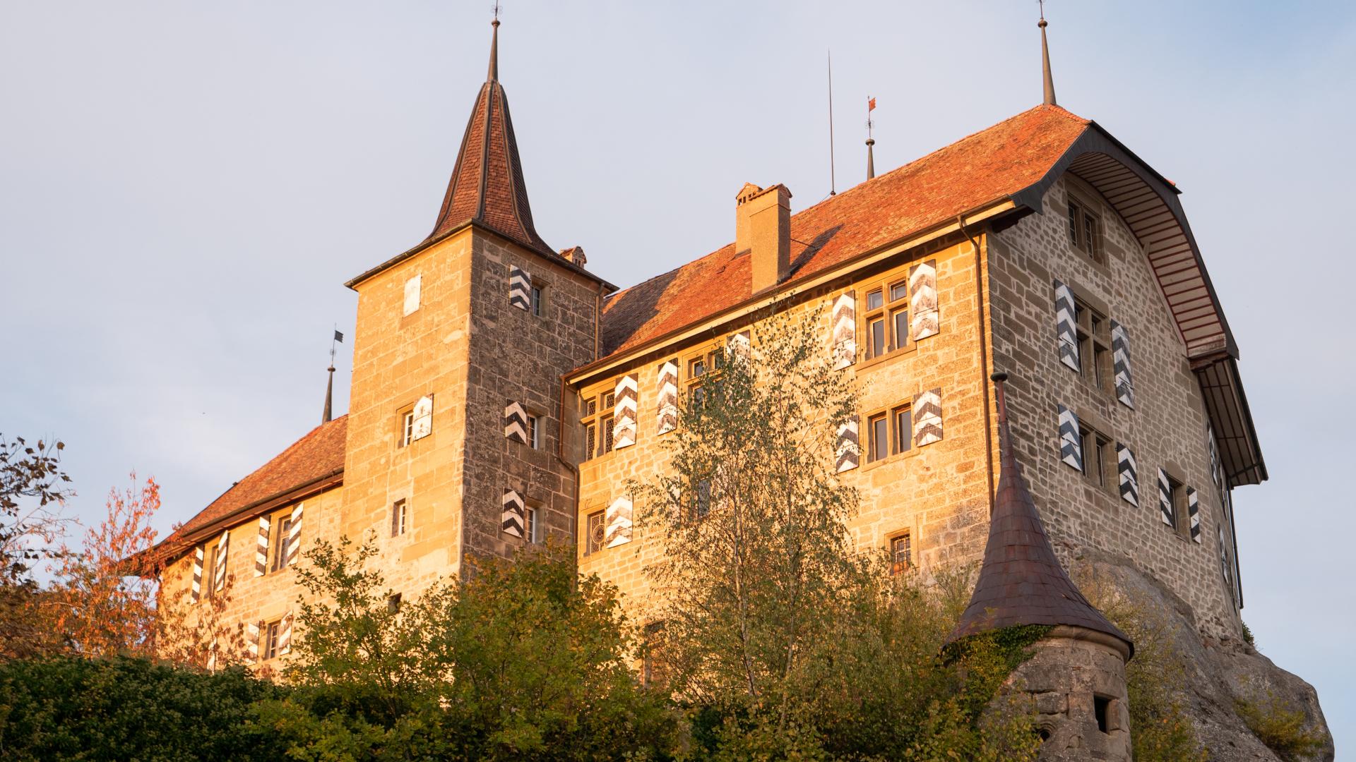
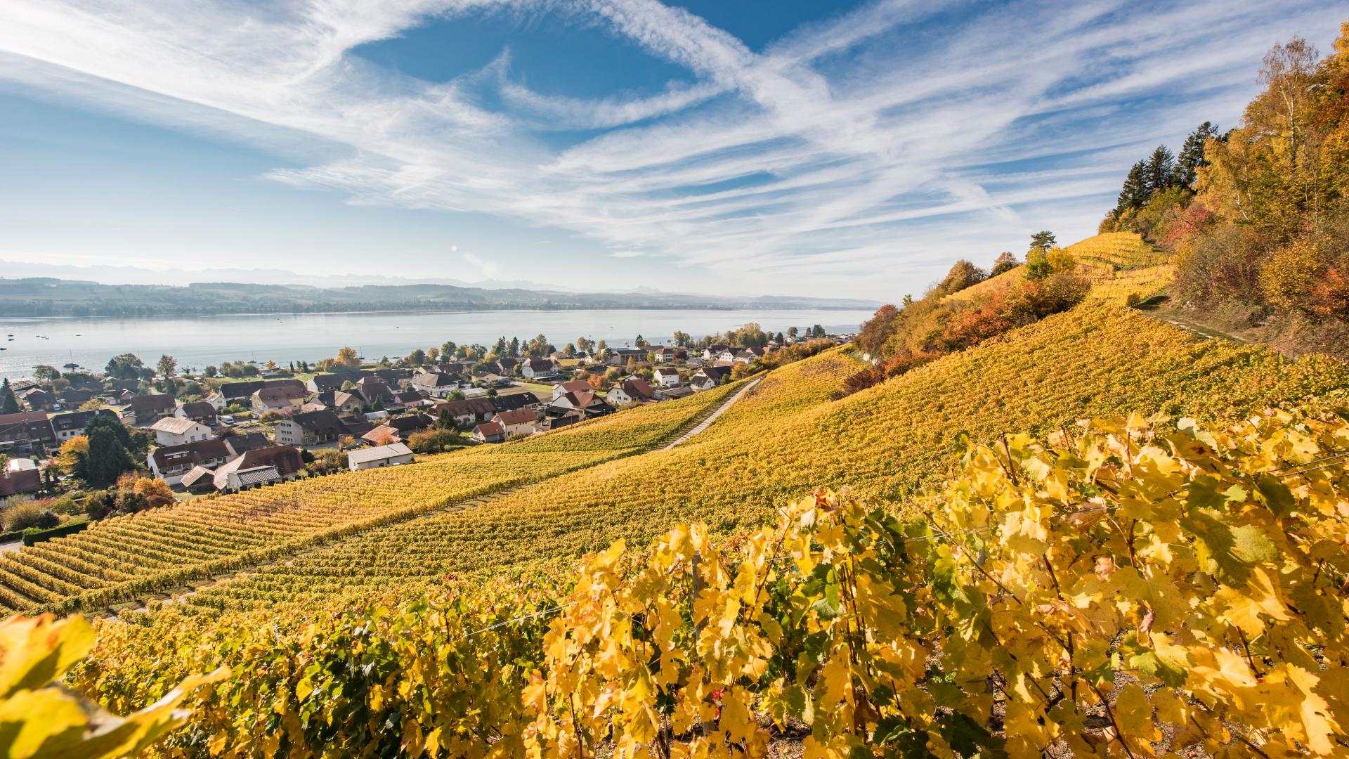
Along the way, you will discover an authentic region shaped by its natural heritage and the characteristic landscapes of the Fribourg Prealps.
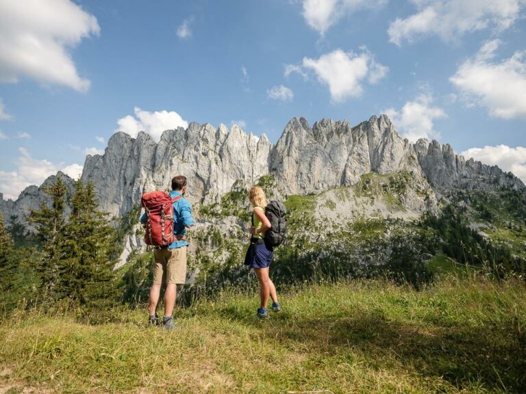
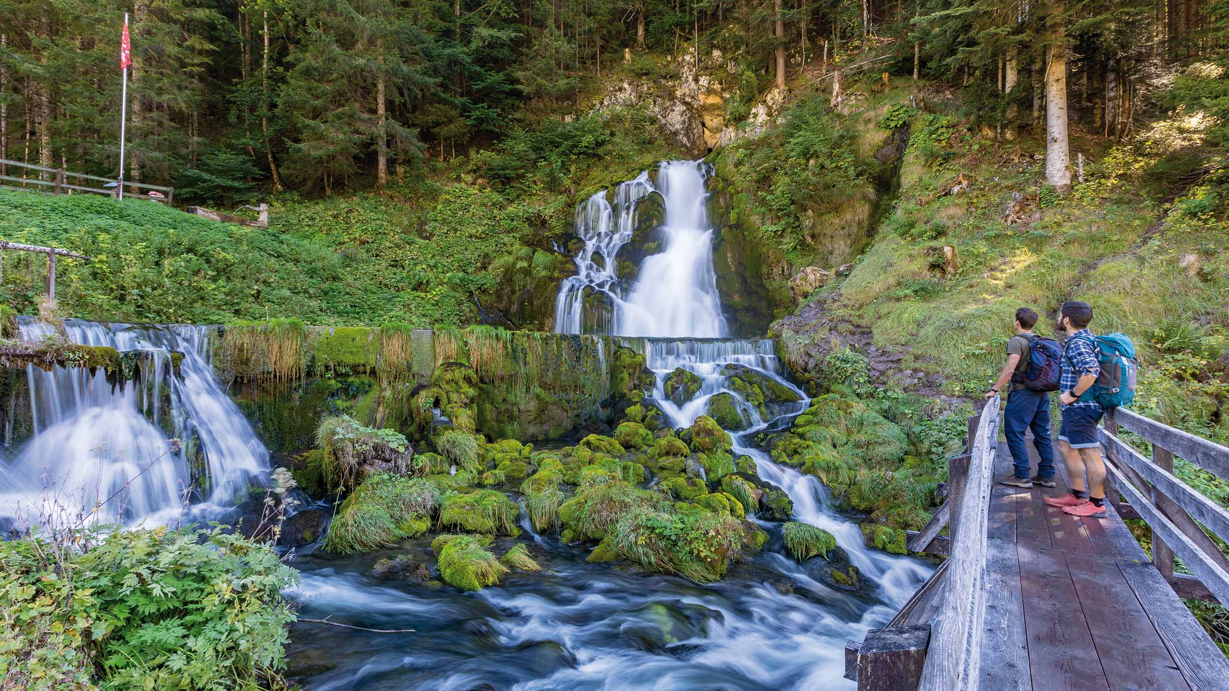
At the end of the Jogne Valley lies the village of Jaun. Known for its waterfall and its unusual cemetery, it is above all home to the Gastlosen, a majestic mountain range unique in Switzerland that you will discover the next day. As the only German-speaking municipality in the La Gruyère region, Jaun (Bellegarde) and Im Fang (La Villette) invite visitors to discover their typically Swiss chalets and preserved natural surroundings.
Overnight stay in Jaun
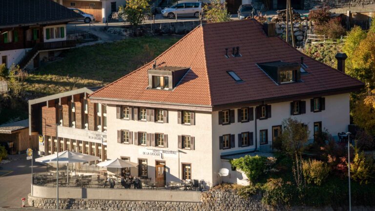
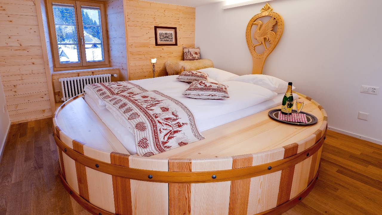
To continue your adventure in the best conditions, spend the night at Hotel Wasserfall, ideally located in the heart of the village of Jaun.
This comfortable accommodation is the perfect starting point for the second stage of your trekking adventure.
Tips for this stage
- If you wish to complete the trek in 2 days, it is also possible to reach Jaun by public transport.
- Easy stage, suitable for all levels
- Ideal warm-up before the more demanding stages
- Take the time to peacefully enjoy the valley landscapes
Next stage
Discover Day 2 and set off to conquer the Gastlosen.
Information
La Gruyère Tourisme
Centre commercial Velâdzo (rez inférieur)
Place de la Gare 3
1630 Bulle
Properties of the itinerarie
Difficulty: Easy
Duration: 02:45
Distance: 11 km
Ascent/Descent: +223m / -71m
Altitude min./max.: 856m / 1026m
Itinerary type
- Family hike
- Along the water