DAY 2 – Hiking in the Heart of the Gastlosen, the “Swiss Dolomites”
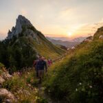
This second stage takes you to the foot of the majestic Gastlosen, a true jewel of the Prealps. You follow a magnificent high-altitude trail close to the peaks, crossing the famous Col du Loup along the way.
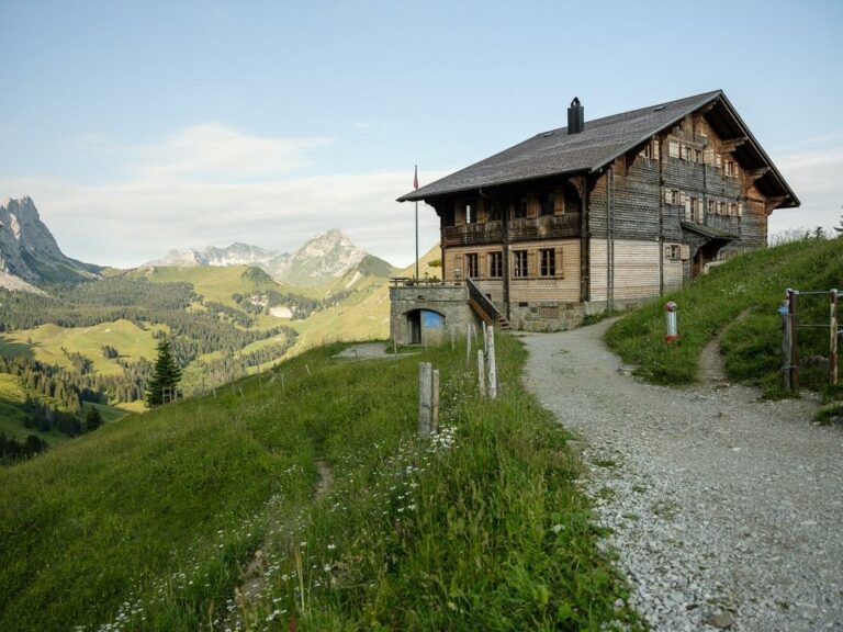
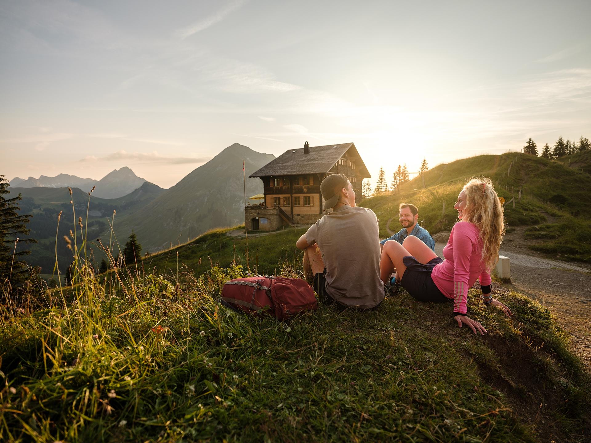
Arriving at Chalet du Soldat, perched on its scenic promontory, offers a spectacular panorama that leaves a lasting impression.
Day’s itinerary
Jaun (1014 m) → Chalet du Soldat (1752 m)
via Chalet Grat and Col du Loup
An alpine hike between cliffs and mountain pastures
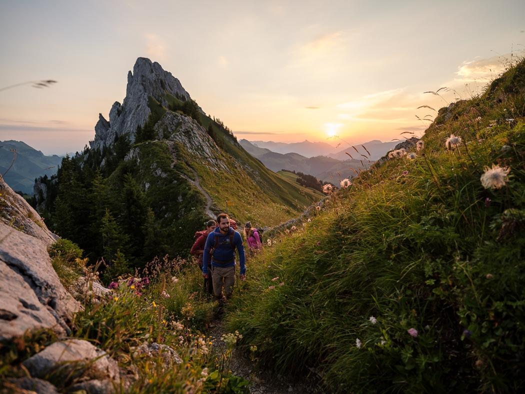
This mountain trail follows the Gastlosen range between 1,500 and 1,900 meters above sea level. The Gastlosen Tour is renowned for its unique geological richness and exceptional biodiversity, offering total immersion in a wild and preserved natural environment.
The route begins gently through lush alpine meadows and sparse forests before gradually revealing an impressive landscape of steep limestone cliffs, some reaching heights of up to 300 meters.
You then cross the Stillwasserwald, an alpine forest rich in diverse tree species, before reaching the rocky passage at Wolfsort (1,921 m), the highest point of the stage. This passage marks the transition between the northern and southern slopes.
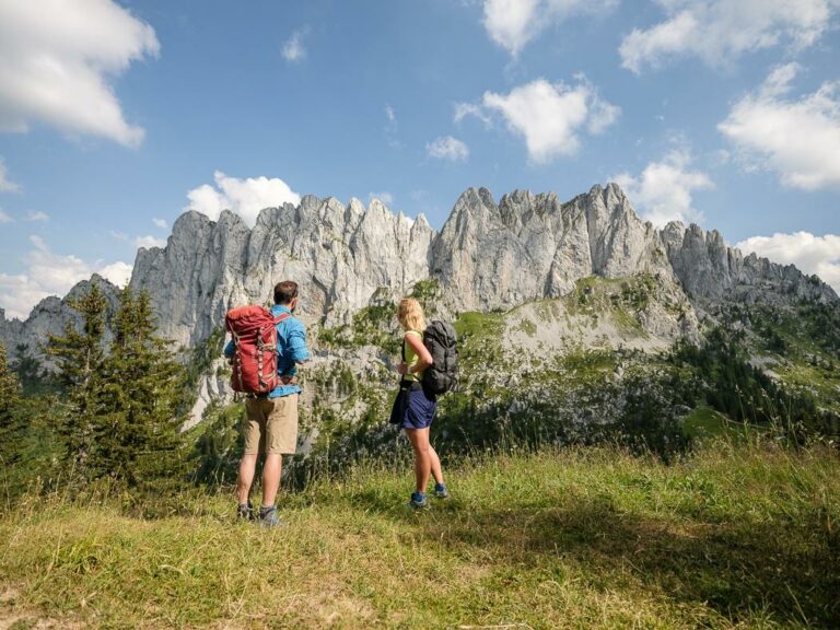
Exceptional panorama over the Alps
From the southern side, the view opens onto the Bernese Alps as well as the Valais peaks rising above 4,000 meters. A breathtaking spectacle accompanies the descent through vast alpine meadows.
The return route passes via Alp Grat and the beautiful Mattenwald forest before reaching your destination.
Hiking tips
- From Col du Loup, it is possible to extend the hike to the summit of Wandflue (unmarked trail – for experienced hikers only)
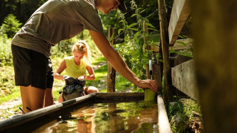
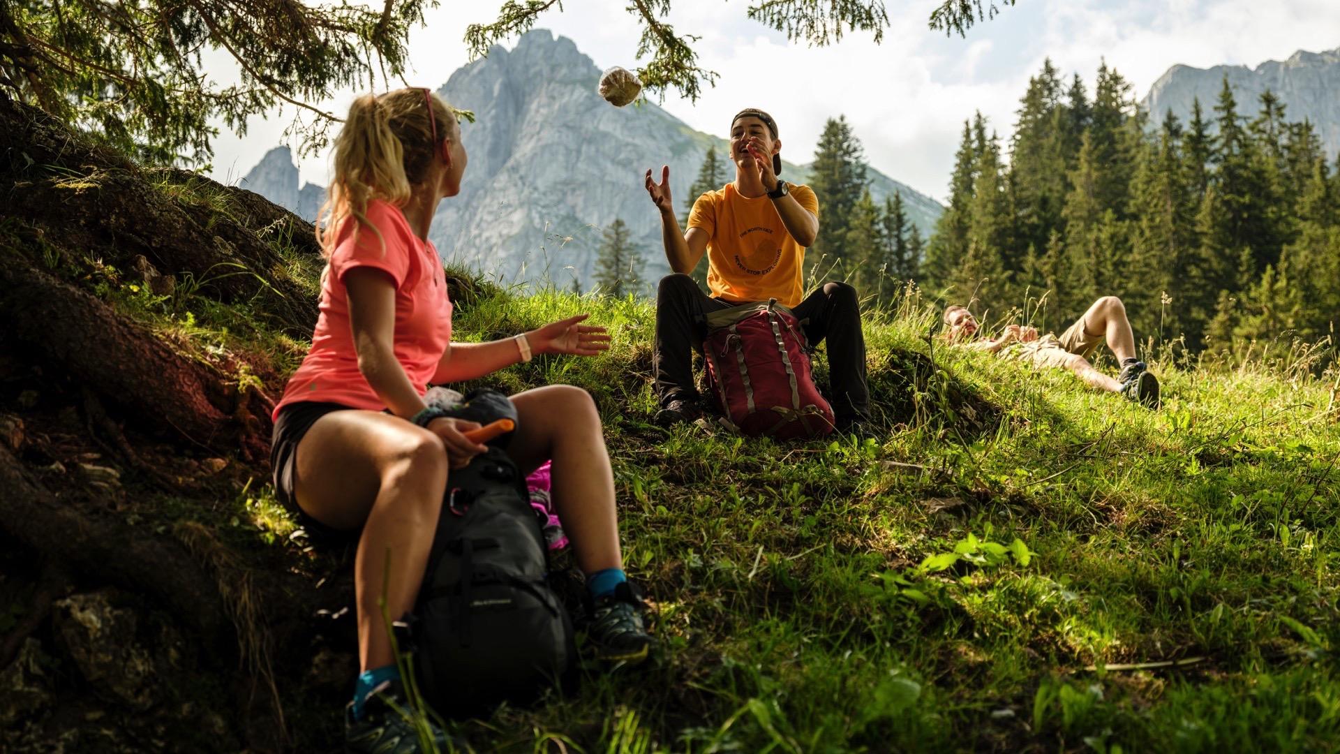
- Take advantage of the many alpine inns along the route
- Good mountain hiking boots are essential (alpine terrain and rocky sections)
Gourmet break: alpine inns and local specialties
After the effort comes the reward! The alpine inns around the Gastlosen are perfect for discovering the flavors of the Fribourg region.
Not to be missed:
- Chalet du Soldat (on your itinerary – overnight stay)
- Buvette de Musersbergli
- Various traditional alpine refuges
On the menu: regional Fribourg specialties, Gruyère AOP cheese, moitié-moitié fondue, and homemade desserts.
The Gastlosen: a paradise for climbers
Nicknamed the “Swiss Dolomites,” the Gastlosen are also a favorite destination for climbing enthusiasts. With more than 300 climbing routes, the massif offers challenges for every level:
- North face: long technical routes
- Southern sector: sport climbing on high-quality rock
- Ridges: alpine routes for experienced climbers
A must-visit destination for mountaineering enthusiasts in Switzerland.
Next stage
Discover the itinerary for day 3 and continue your adventure around the Gastlosen.
Previous stage
Discover Day 1 and begin your adventure in the heart of the Jogne Valley.
Information
La Gruyère Tourisme
Centre commercial Velâdzo (rez inférieur)
Place de la Gare 3
1630 Bulle


Properties of the itinerarie
Difficulty: Moderately difficult
Duration: 04:15
Distance: 10 km
Ascent/Descent: +1144m / -422m
Altitude min./max.: 993m / 1928m
Itinerary type
- Scenic hike